
Farm
management
- Field measurements
- Cropping information
- Ecological focus areas
- Field boundary changes
- Health & safety information
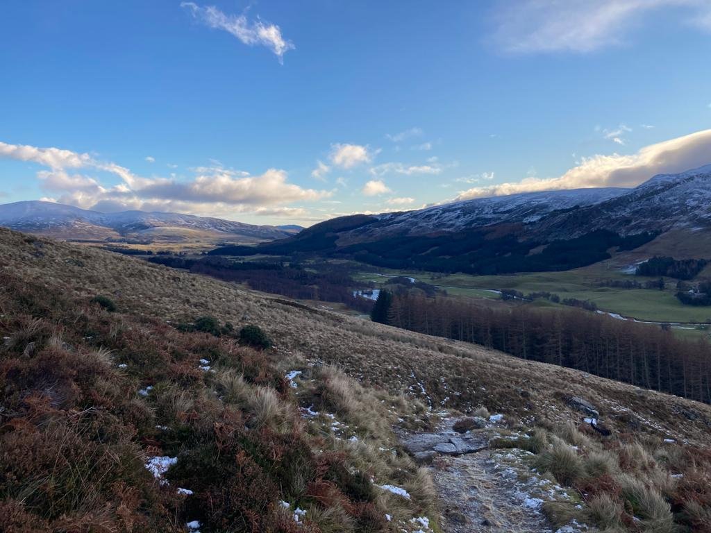
Estate
management
- Whole estate plans
- Fishing beats
- Grouse moors
- Location and demise plans for let property
- Utilities mapping

Change
of ownership
- Sale plans
- Title plans
- Long lease plans
- Servitudes
- Break offs
- Voluntary registration

Environmental management
- Habitat management areas
- Environmental schemes
- Protected areas e.g. SSSIs
- Wildlife management
Data Management
Rationalise the data you already hold to maximise its value
- Do you need to reconcile your property information and streamline your filing system to make it straightforward for you to access information and share it quickly and easily?
- Do have a mountain of files that you have been meaning to sort through?
- Perhaps you are thinking about succession management, either within your family or for an employee reaching retirement?
With a background in rural estate management we can review the property information you hold on paper (or in your head) and rationalise it in a way that helps you manage your property efficiently.
Our maps
Our maps are produced using digital mapping software and the latest Ordnance Survey information.
Digital mapping software (GIS) allows fast and accurate gathering, analysis and management spatial data, giving you the information you need in a format that is easy to understand and communicate to others. Our service is flexible and adaptable to provide a range of solutions. Whether you want a title plan for a whole estate, a hazard map of your farm to pass to a contractor or a grouse moor map for your gun room wall, we can provide what you need with friendly and efficient service.
CUSTOM MAPS
We are always happy to receive
custom mapping enquiries
© Copyright. All rights reserved.
We need your consent to load the translations
We use a third-party service to translate the website content that may collect data about your activity. Please review the details and accept the service to view the translations.